riverssa

WW kayaking guide to rivers in South Africa


Leave a comment

Vredefort Dome / Vaal River / Free State / South Africa

Vaal River – Dimalachite/Hadeda Creek to Venterskroon/Schoemansdrift (Vredefort Dome)

Vredefort Dome Section : Vaal River (Touring)

Grading I to II (mostly flat)
Levels / gauges Vaal @ Goosebay Canyon (Upper Vaal)Vaal @ Schoemansdrift (Upper Vaal)

Low – less than 30 cumecs

Medium – 30 to 50

Medium-high – 50 to 100

High – 100 and up

http://www.dwaf.gov.za/Hydrology/RTMain.aspx

Put-in 26°54’11.73″S; 27°22’5.86″E (Dimalachite)26°53’2.38″S; 27°21’22.23″E (Hadeda Creek)
Take-out 26°53’16.45″S ; 27°16’4.39″E (Venterskroon)26°58’15.19″S ; 27°12’40.48″E (Schoemansdrift)
Estimated time 2hrs to 6hrs
Length 16km to Venterskroon31km to Schoemansdrift
Gradient Less than 5m/km (Flat)
Portages None
Hazards / Notes Shallow / Weir
Fun factor 3 / 5

This section is meant for tour boats and K1/K2 river paddlers.  The scenery is pretty cool since you paddle through the heart of the Vredefort Dome.  Go check out some details on the Vredefort Dome at: http://www.vredefortdome.org/.

The paddle can either a 31km long flat paddle (few rapids) or could be split into an easy two day touring trip with a stopover in Venterskroon.  The section, although flat, has some great birdlife and you are likely to see Goliath Herons and Fish Eagles on this section.

To get to the put-in, drive towards Vredefort out of Parys.  Take the Schoemansdrift Road (the first proper turn-off outside of Parys) and carry on with this road until it becomes a dirt road.  Dimalachite is along this road and will be on your right.  They do camping and general day access, but the first kilometre is pretty shallow with several channels.  Keep left for the first two kilometres.  Hadeda Creek is further down the road and you cut-out a section of shallow channels, but they do not do general day access and they are likely to charge you in the region of R100 per boat to launch from there.

To get to Venterkroon, drive back into Parys and follow the signs to Potchefstroom. Get on the R53 and continue towards Potchefstroom.  About 10km outside of Parys you will see signs that indicate a dirt road towards Venterskroon on your left.  Take this road and continue until Venterskroon.  You will be able to see the river on your left.

To get to Schoemansdrift, continue with the Schoemansdrift road.  Turn right at the t-junction after Dimalachite and continue until you get to another t-junction.  Again, turn right and continue with the road for about 6km and you will find road to your right and Schoemansdrift.  If you need to get from Venterskroon to Schoemansdrift, then continue with the Venterskroon road.  After Venterskroon you will start to climb a big hill.  Follow the road over the hill and at the bottom of the hill there is an intersection (after a low level bridge).  Turn left here and follows the road to t-junction, turns left again and follows the road (tarred) towards Schoemansdrift.

The section is mostly flat.  The first 2km are shallow channels and gets better with water levels closer to 50cumecs.  For the first 2km keep left mostly where there is a split.  After that the main flows are right.  The only rapid worth mentioning is about 6.5km from the put-ins.   The rapid is straight forward and falls into the II+ range.

From here it is pretty much flat.  For the take-out at Venterskroon, you need to organise access.   Get in touch with http://www.safarinow.com/destinations/venterskroon/Restaurants/The-Old-Imperial-Inn.aspx.  They serve great food and got local beer on tap.  There are several accommodation options in Venterkroon if you plan to split the trip into a two day touring paddle.

The section from Venterskroon to Schoemansdrift is flat.  The last obstacle is a weir located 50m before the Schoemansdrift Bridge.  Always scout this and portage when required (Weirs are nasty man-made hazards and should be treated with caution).

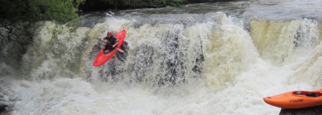
Below are some pics from the section:

ImageImageImageImage

Injisuthi / Injisuthi River / KwaZulu-Natal / South Africa

1 Comment

Here is a video guide to the Injisuthi. The water levels were low-med.

The larger rapids are named on the video, but check out the Injisuthi guide entry for specifics.

*Watch out for the siphons at the start and then also at the rapids with known siphons.  Also as a side note, leave the local’s stash alone! (You have been warned)


Leave a comment

WIldebees Gorge / Wildebees River / Transkei / South Africa

Wildebees River – Wildebees Gorge

WIldebees (Nqu) Section : Wildebees River

Grading IV-  at low levelsIV at medium levels (two foot from wider column support at put-in bridge)

IV+ (V) if the water is humping.

Levels / gauges None.  Check rainfall in area.  Best bet is to go Mid January to February.  Check with Tsitsa falls backpackers for river level updates.Note: Marker at bridge is the columns.  If the fat bottom section of the column is just covered, then this is the minimum level
Put-in 31°11’54.58″S ; 28°25’53.73″ETurn off from R 396:

31° 8’21.47″S ; 28°26’14.99″E

Take-out 31°15’50.26″S ; 28°29’16.77″E
Estimated time 4hr to 7hrs
Length 16km
Gradient Proper gorge to second falls: 22m/km  (8km)Average: 15m/km (over total length)
Portages None
Hazards / Notes Logs / siphons / waterfalls
Fun factor 4 / 5

Wildebees section is best known for the two waterfalls on this section.  The first one is about 15m high and the second around 10m.  Both is good to go, but beware that the 15m packs a punch in terms of hitting the plunge pool.  Even if you are not keen on the waterfalls, the section has some solid rapids and the scenery is awesome.  The higher the water level, the more committing the run becomes.

The road to the put-in is off the R396 heading south of Maclear.  The turn-off will be on your right heading south and at 31° 8’21.47″S ; 28°26’14.99″E.  There is a precast bus shelter at the turn-off and a white sign with “Mbidlana JSS” on it.  Carry on with the dirt road until you cross the river.  You can check the levels at the put-in bridge:

Low level: Water covers just about the fat section of the bridge column.

Medium level: Say about two feet up from the fat section.

High level: Anything more than 3 feet up and you will see that the water is brown.

The take-out is a bit of a dirt road mission.  Carry on with the R396 to a turn-off at 31°14’50.80″S ; 28°38’21.31″E.   The turn-off is not clearly marked, but is a proper dirt road into the rural areas. It is roughly 32km from the Wildebees put-in turn-off and about 3km after you cross a medium sized bridge (see pic below of bridge and actually the lower Wildebees).

Image

From the turn-off of the R 396, carry on with the dirt road and try and stick to the larger roads going right and towards the river.  The take-out is roughly 18km down this road where the road comes close to the river and just before a steep road heading out of the valley.  If you go up this steep road, you will be able to see the second falls to your right.  Take-out is at  31°15’50.26″S ; 28°29’16.77″E.  From the river, you will be about 2.5 km downstream of the second waterfall and will be able to see the steep road running out the valley (From the second falls the river makes a 90degree turn to the left and you will be able to see the road leading out of the valley over your right shoulder).

The river itself starts out pretty mellow.  The first couple of kilometers have a bit of wood, but nothing too serious.  It seems that most of it is kept out of the main gorge, but always be on the look-out for logs.

The first mini-gorge is just around the corner from the put-in.  The proper gorge and steeper sections is about 5km from the put-in.  From here you need to be on your game and scout when in doubt.  There are undercuts and siphons a plenty.  Hiking out becomes difficult and the runs is pretty committing.

The first falls is the 15m falls and can be run on the left.  Portage is on the right and can be a bit dodgy due to the narrow path so take it slow.  The waterfall has a pretty hard hit at the bottom.  The waterfall is remote, but the lead-in is as easy as it gets.  If you are new to waterfalls, rather give this a miss since the consequences on this one can be high.  The drop is rewarding to the okes up for it.  The waterfall is about 7km into the run.

The section between the waterfalls is more of the same.  The second fall is 13km into the run and almost at the end.  The entry is easy and the line depends on the water levels, but there are numerous lines down.  After the second fall, carry on down to the take-out.

Note that the proper gorge is fairly steep at times and you need to be confident at high water levels.  Rapids are too numerous to describe, however there is a line down each of them.  Again, watch out for siphons, undercuts and the odd log.  The Wildebees is a great run and definitely one of the classic Transkei paddles.

ImageImageImage